A navigation system that shows a speed limit on screen is not automatically showing the right one. Speed limit display in car navigation depends on three things. Where the data comes from. How well the vehicle’s position matches to the correct road. How frequently that underlying map data gets refreshed.
When any of those pieces slip, the result is not a minor glitch. It is a driver being told the wrong number on a road they are actually driving. For dealers, wholesalers, and automakers sourcing navigation systems, understanding what sits behind this feature matters more than confirming it exists on a spec sheet.
This guide covers how the feature works. It covers where its data comes from. It also covers what to verify before ordering at volume. For a foundational overview of navigation systems, see our what is a car navigation system guide.
Speed Limit Display – Core Definition for Car Navigation
What Is Speed Limit Display?
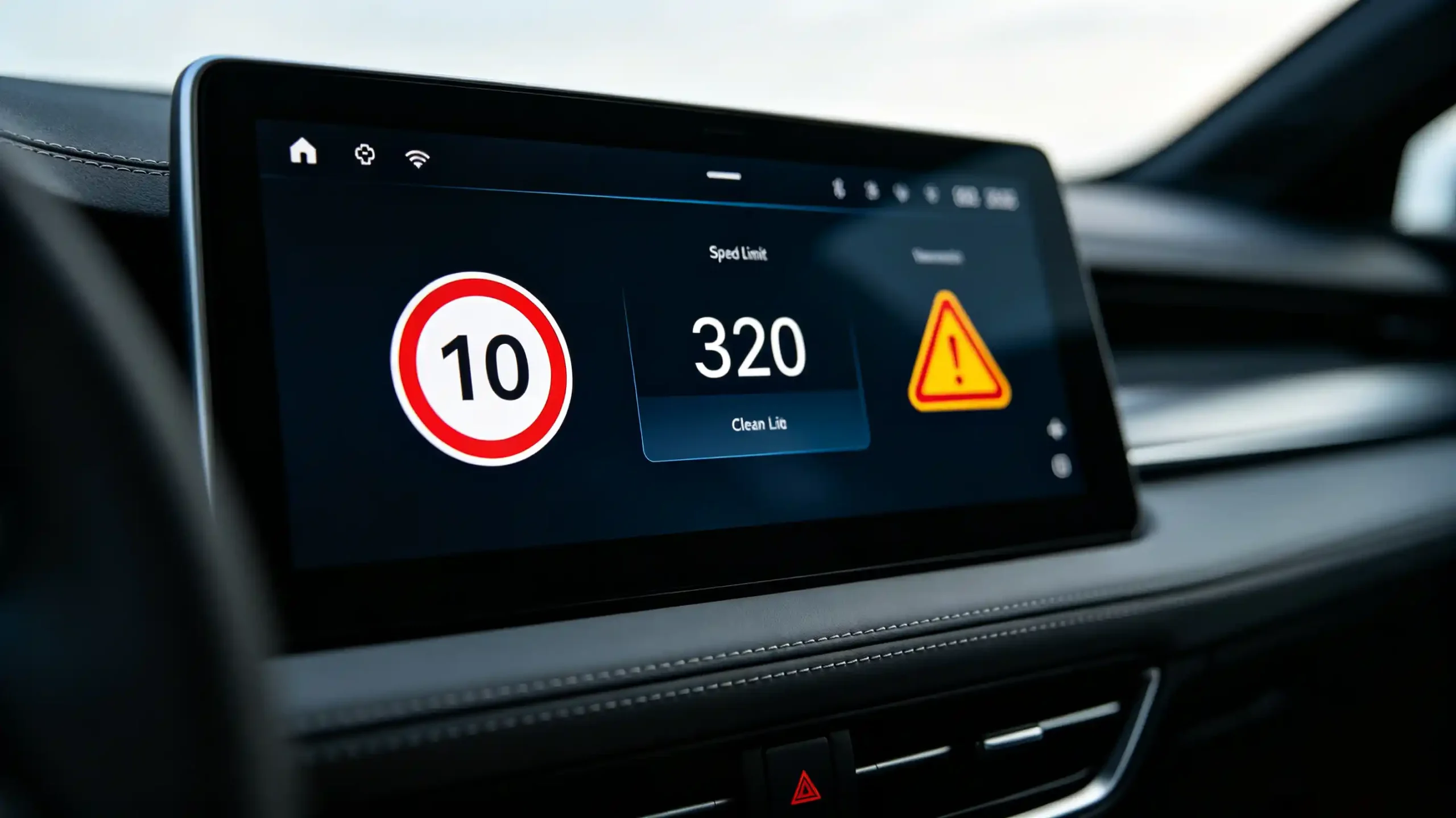
Speed limit display is a navigation feature that shows the current road’s legal speed limit on screen. It typically appears as a digital icon or number. It is based on the vehicle’s GPS position matched against a road in the map database.
Its Purpose
Its purpose is straightforward. It tells the driver what is legally allowed on the road they are on right now. The driver does not have to catch a physical sign that may be missed, obscured, or simply not there.
Three Ways It Delivers Value
The value shows up in three ways. It supports safer driving by keeping the limit visible at all times. It adds convenience by removing the need to visually search for posted signs. It helps drivers avoid speeding fines they might otherwise pick up unintentionally.
Why Accuracy Matters
But the feature only delivers that value if the number on screen is correct. A wrong speed limit creates driver frustration and a real safety concern. It is not just a cosmetic bug. A missing speed limit on a road where a competitor’s unit shows one makes the whole feature look unreliable. Both outcomes tend to surface as customer complaints and support calls well after a batch has shipped. This is exactly why speed-limit accuracy functions as a real product-quality signal, not just a checkbox feature.
Primary Data Sources for Navigation-System Speed-Limit Information
Offline Map Database
Where the speed limit number actually comes from shapes everything else about how reliable it is. An offline map database stores speed limit data directly on the device. This means it works without an internet connection. It holds up fine in remote areas. The tradeoff is that it can go stale between updates. It also depends on the user or installer actually applying new map versions.
Online Cloud Data
Online cloud data takes the opposite approach. It pulls speed limit information in real time from a connected service. This keeps it more current. It is better able to reflect recent road changes. The cost is needing an active connection and using data.
Hybrid Approach
A hybrid approach tries to get the best of both. Offline map data as the reliable base layer. Online updates layered on top to catch recent changes. It is a common middle ground for systems that need to function with or without connectivity.
Camera-Based Recognition
Camera-based recognition reads physical speed limit signs directly through a forward-facing camera. It is part of an ADAS setup. It is generally the most accurate for current road conditions. But it depends on dedicated ADAS hardware that falls outside the scope of a standard navigation system.
Why the Source Matters
Which of these a system uses directly affects how accurate and current its displayed speed limits will be in practice.

How Speed-Limit Information Is Presented Within Navigation User Interface
Speed Limit Icon
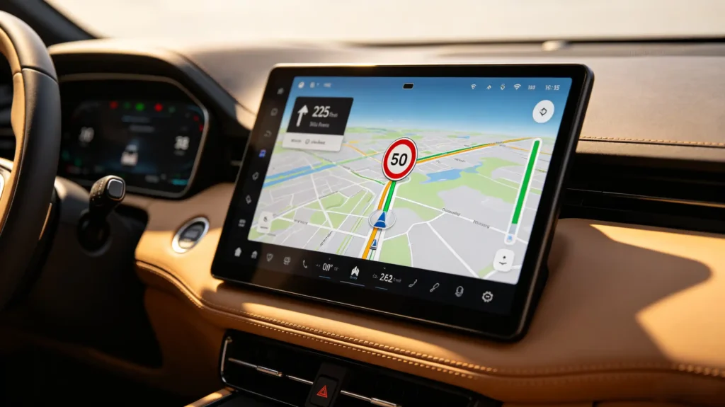
Once the system has a speed limit value, how it is displayed affects how usable it actually is at a glance. The most recognizable format is a speed limit icon. A circular sign with the number inside. It mirrors the road sign drivers already know how to read instantly.
Numerical Display
A simpler alternative is a plain numerical display. Just the figure with a unit label.
Color Coding
Some systems add color coding on top of either format. The display shifts to a different color when the vehicle’s current speed exceeds the posted limit. This gives a visual cue without requiring the driver to read numbers closely.
Placement
Placement varies by system too. Commonly tucked into a corner of the map screen. Built into the navigation or status bar. Or overlaid directly on the map near the vehicle icon.
Accompanying Features
Two features often accompany the core display. A speed warning that alerts the driver when they exceed the limit. A voice prompt that reads the limit aloud rather than relying on a glance at the screen.
Screen Size Considerations
Screen size plays a real role here. Smaller displays tend to show just the icon to preserve space. Larger screens can layer in the icon, a numerical readout, and warning indicators together. For a B2B buyer, UI clarity is worth evaluating directly. Do not assume any implementation reads equally well at a glance while driving.
Speed-Limit Data Integration With GPS and Navigation Workflow
The Four-Step Sequence
Getting a speed limit onto the screen correctly runs through four steps in sequence.
Step 1: GPS Position Fix
The navigation system establishes a GPS position fix. It determines the vehicle’s current location.
Step 2: Map Matching
It performs map matching. This aligns that GPS position to the nearest road in its map database. This step matters more than it might seem. GPS alone gives a point in space, not a specific road.
Step 3: Speed Limit Lookup
The system looks up the speed limit for that specific road segment. This comes either from the offline map database or a cloud service.
Step 4: Display
It displays that value on screen.
Why the Chain Matters
The reliability of this whole chain depends on each step feeding the next one correctly. GPS accuracy affects how well the map-matching step can pin down the right road. Map-matching accuracy directly determines which speed limit gets retrieved. If the vehicle gets matched to a nearby parallel road instead of the one it is actually on, the system will confidently display the wrong number. This happens more often than buyers might expect near highway interchanges or dense urban grids. This is why GPS and map-matching quality are not separate concerns from speed-limit accuracy. They are the foundation it is built on. For more on GPS accuracy, see our car GPS accuracy guide.
Road Speed-Limit Updates and Regional-Variance Considerations
Update Cycles
Map data does not update continuously. Refresh cycles typically run quarterly, bi-annually, or annually. Any speed limit change enacted between updates simply will not show up until the next one lands. This is unless the system supports OTA updates that can push newer data more frequently without needing the vehicle brought in physically. For a complete guide on map updates, see our car navigation map update guide.
Regional Differences
Regional differences add another layer that export-focused buyers need to plan for. Speed limits themselves vary enormously by country. German autobahn stretches without a posted limit look nothing like a US interstate capped well below it.
Unit Conversion
Some regions measure in mph while others use km/h. The navigation system needs to handle unit conversion correctly. It should not display a raw number in the wrong unit.
Sign Visual Differences
Even the visual language of speed limit signs differs. European circular signs look quite different from American rectangular ones.
Multi-Market Requirement
For any system intended to serve multiple export markets or handle cross-border travel, map data coverage and correct regional formatting across all relevant countries is a real requirement. It is not a nice-to-have.
Main Factors Affecting Navigation-System Speed-Limit Accuracy
Outdated Map Data
Several distinct failure points can produce a wrong or missing speed limit. They are worth separating because each points to a different root cause. Outdated map data is the most common. The actual speed limit changed on a given road, but the map has not caught up.
Map-Matching Errors
Map-matching errors put the vehicle on the wrong road entirely. They pull in a speed limit that is correct for a different segment.
Missing Data
Some roads simply have missing data in the database. This is especially true in less-mapped regions.
Temporary Changes
Temporary changes, like construction zones or short-term restrictions, rarely make it into standard map data at all.
Poor GPS Signal
Poor GPS signal — common in urban canyons or tunnels — degrades map-matching accuracy. This cascades into a wrong speed limit further downstream.
Regional Coverage Gaps
Some regions simply have incomplete speed-limit coverage compared to others.
What to Verify
Buyers sourcing for a specific market should verify speed-limit data accuracy for that region specifically. Do not assume coverage is uniform globally.
B2B Evaluation Considerations for Speed-Limit-Display Capabilities
Sourcing Checklist
Turning this into a sourcing checklist, buyers should verify seven things before finalizing a navigation system order.
- Data source — which one powers speed-limit information (offline map, online cloud, or hybrid)
- Map coverage — for the target region specifically
- Update frequency — how often map data is refreshed and whether OTA updates are supported. For more on updates, see our Android head unit software update guide.
- UI presentation — how clearly the speed limit icon is presented and where it is placed on screen
- Over-speed warning — whether this function is included
- Multi-country support — whether the system supports multi-country data and correct unit conversion for cross-border use
- Sample testing — across different road types and regions before committing to a bulk order
FAQ
Does speed-limit-display feature guarantee 100% accurate real-time road speed-limit values under all driving conditions?
No. Accuracy depends on map data freshness, GPS signal quality, and correct map matching. All of these can fail independently of the feature itself working as designed. Construction zones, recently changed limits, and areas with poor GPS reception can all produce an incorrect reading. This happens even on a well-built system. Buyers and end users should treat the display as a helpful reference rather than an infallible source. Verify posted signage in situations where the two disagree.
What functional difference exists between offline-map-based speed-limit data and cloud-sourced dynamic speed-limit information?
Offline map data lives on the device and works without a connection. This makes it reliable in remote areas. But it only reflects whatever was current at the last map update. Cloud-sourced data pulls current information over an active connection. It can catch recent changes faster but depends entirely on connectivity being available. Many systems combine both. Offline data as a baseline. Cloud data to fill in more recent changes when a connection exists.
Why can navigation show incorrect speed limit even when GPS position fix is working properly?
A correct GPS fix only confirms the system knows where the vehicle physically is. It does not guarantee the map-matching step assigned that position to the right road. Near highway interchanges, parallel service roads, or dense urban grids, a vehicle can be matched to a nearby road instead of the one it is actually on. This pulls in that road’s speed limit instead of the correct one. The GPS signal being accurate does not protect against this downstream matching error.
Do map data updates automatically fix all missing or out-of-date navigation-system speed-limit entries?
Not entirely. A map update corrects known changes and fills in gaps that the mapping provider has identified since the previous release. But it cannot fix data that the provider has not yet captured. Very recent temporary restrictions or roads in under-mapped regions are common examples. Updates meaningfully reduce the number of inaccuracies. They do not guarantee complete, current coverage everywhere the vehicle might travel.
Conclusion
Speed-limit display is only as reliable as the data source, map freshness, and regional coverage behind it.